SAN AGUSTÍN, HUILA · COLOMBIA

Explore San Agustín

The map

Map of the surrounding area

Select a marker to discover the place. The numbers match the descriptions below.

8 places shown
The map background is unavailable. The descriptions and directions links are still accessible.

Directions start at Cabaña Safia. Positions indicate the sites, rather than entrances or excursion starting points. Check access before setting out.

The places

Places to discover

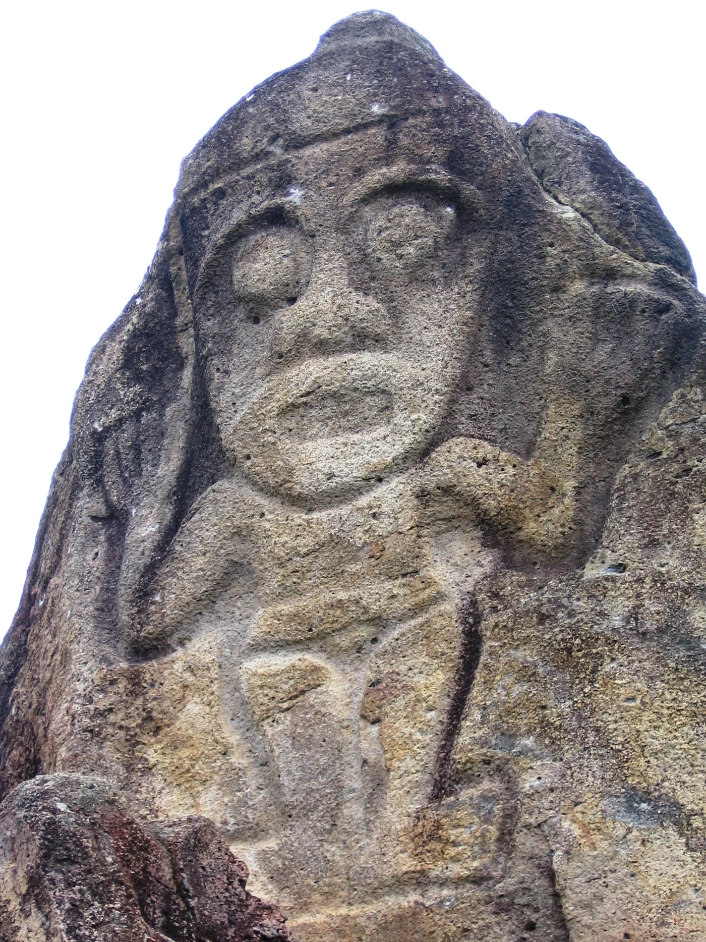
La Chaquira
Alejo Soler · CC BY-SA 3.0

01Canyon & viewpoints · San Agustín

La Chaquira

Figures carved into the rock above the Magdalena canyon. A visit combining heritage and sweeping views, with steps leading down to the sculptures.

Read more

At La Chaquira, sculpture is part of the landscape: figures are carved into the rocks overlooking the Magdalena. The ICANH guide describes this group as a place with no known funerary function.

Take time to spot the faces and figures with outstretched arms, then look out over the canyon. The path descends to the carved rocks along a series of steps, revealing the views as you walk.

For your visitThe last section is on foot. Save some energy for the climb back up the steps.
Directions from the cabin
Estrecho del Magdalena
Biodiego88 · CC BY 4.0

02Canyon & viewpoints · San Agustín · Obando

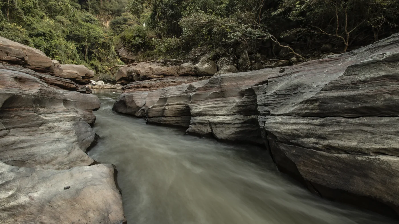
Estrecho del Magdalena

The Magdalena narrows between the rocks in a spectacular passage. A stop to observe the river’s power and the shapes carved into the stone.

Read more

On the way to Obando, the Magdalena flows through a rocky passage around 2.20 metres wide. This narrowing gives the current striking force: the water rushes through the rock before widening again downstream.

The movement of the water and the shapes of the rocks both make this stop worthwhile. Notice the contrast between the narrow channel and the broader stretches of river, with the countryside beyond.

For your visitThere are steps on the approach. Watch from the riverbank: do not swim or try to cross the passage.

Directions from the cabin
Salto del Mortiño
CarlosE Duarte · CC BY 3.0

03Waterfalls · Isnos

Salto del Mortiño

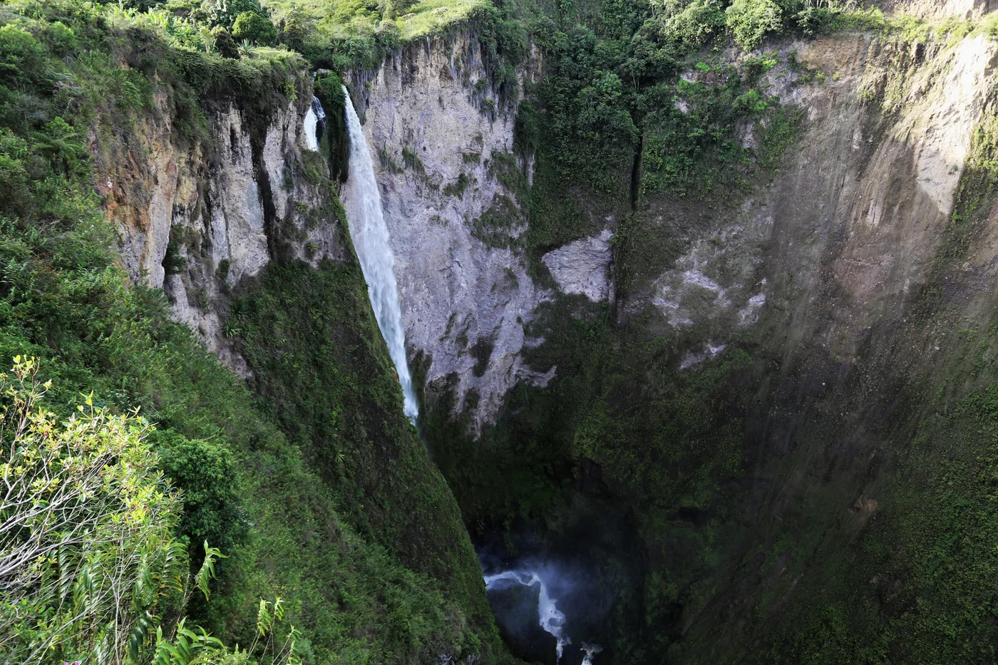
A large waterfall plunges into an amphitheatre of green cliffs. The site’s viewpoints reveal this landscape on the Isnos side.

Read more

In the Isnos area, the waters of La Chorrera leave the plateau and fall into a deep gorge. From the viewpoints, the waterfall appears as a long, pale ribbon between dark rock and vegetation.

This is a stop to take in the landscapes of southern Huila. The site also offers leisure activities around the views; you can plan a simple visit to the viewpoints or ask about the experiences available.

For your visitCheck with the site which viewpoints and activities are accessible on the day of your visit.

Directions from the cabin
Salto de Bordones
CarlosE Duarte · CC BY 3.0

04Waterfalls · Isnos · Bordones

Salto de Bordones

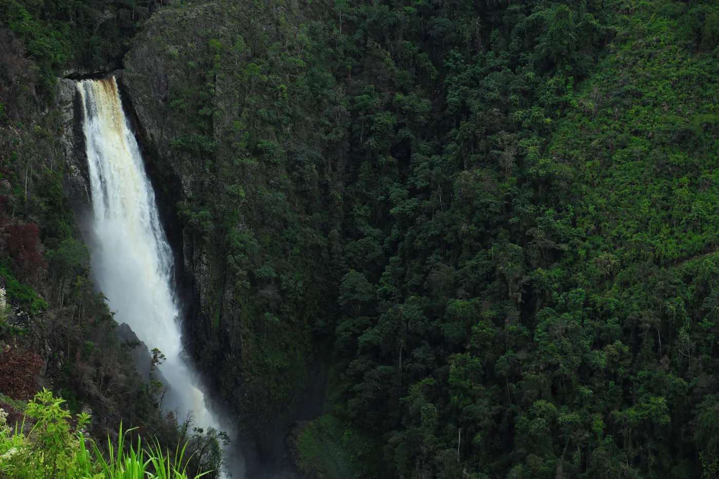
An impressive waterfall amid the mountains. Discover it on an excursion to Bordones, with a viewpoint or a walk arranged to suit you.

Read more

Between Isnos and Saladoblanco, Salto de Bordones lies among densely vegetated mountains. Its long drop, generally estimated at around 400 metres, gives the landscape its sense of scale.

Several viewpoints offer a view of the falls, while trails bring you closer to the terrain. Some excursions combine Bordones with Alto de las Piedras, bringing a waterfall and an archaeological site into the same day.

For your visitChoose a viewpoint or walk with a guide to suit your interests and the condition of the trails.

Directions from the cabin
El Tablón
Stan Gee / Flickr

05Heritage · San Agustín

El Tablón

Pre-Columbian sculptures in the countryside north of the village.

Read more

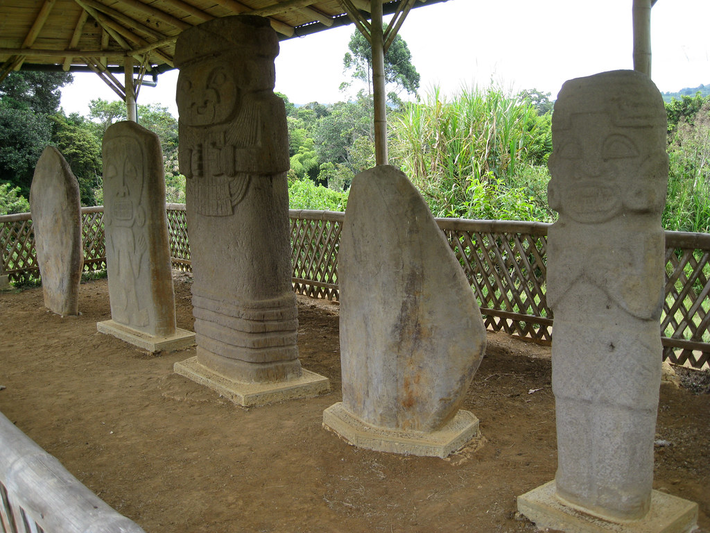
El Tablón brings together five statues discovered in this area north of San Agustín. Their carved headdresses, necklaces and clothing invite you to look closely instead of moving too quickly from one figure to the next.

The nearby ethnographic museum offers another perspective on the region: farming tools, looms, musical instruments and everyday objects tell the story of skills in southern Huila. The visit brings together ancient sculptures and the memory of rural life.

For your visitAllow time for both the statues and the museum; check its opening times before you go.

Directions from the cabin
La Pelota & El Purutal
Karolynaroca · CC BY-SA 3.0

06Heritage · San Agustín

La Pelota & El Purutal

An archaeological group known for sculptures that retain traces of colour.

Read more

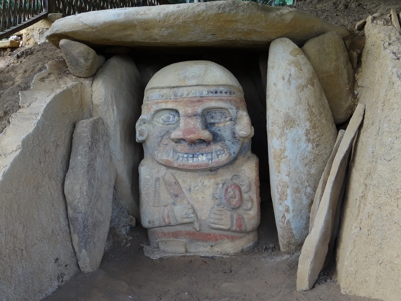
This visit brings together two neighbouring groups. At La Pelota, the three statues include a bird figure. At El Purutal, sculptures associated with funerary structures retain traces of paint: colour is part of the discovery here.

Look for touches of red and yellow on the faces and bodies. They suggest sculptures once more colourful than grey stone alone would imply. Then compare the human and animal figures in both groups.

For your visitTake time to visit both groups and observe the pigments without touching the sculptures.

Directions from the cabin
Alto de los Ídolos
Jorge Láscar · CC BY 2.0

07Heritage · Isnos

Alto de los Ídolos

Sculptures, sarcophagi and funerary monuments in the hills of Isnos.

Read more

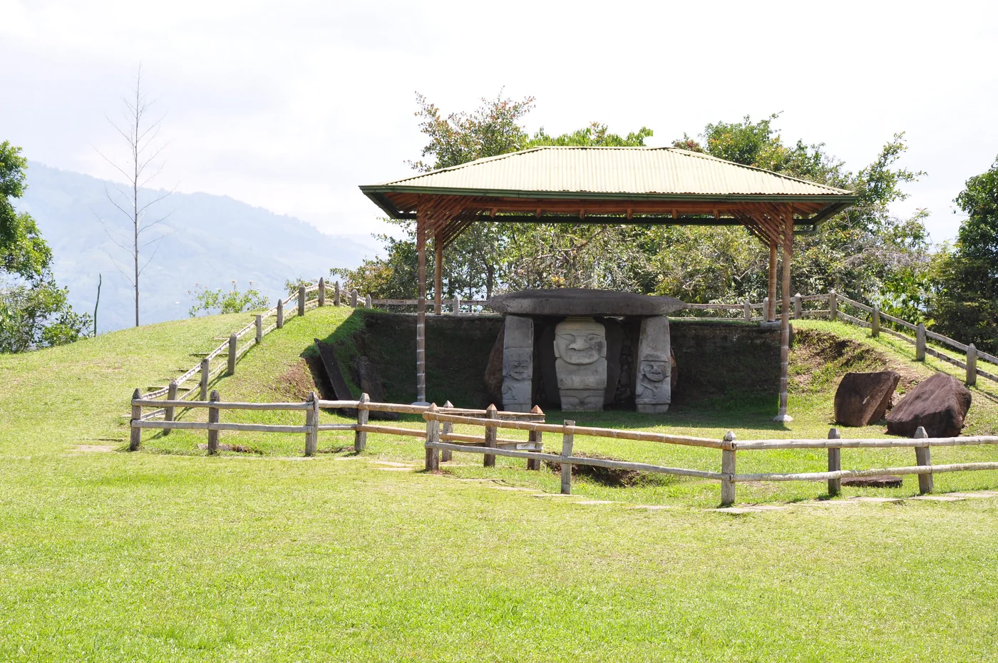
In Isnos, Alto de los Ídolos occupies a hill reshaped into terraces. Seven burial mounds bring together statues and stone sarcophagi. The terrain itself helps convey the scale of the work involved in creating this place.

The route connects the areas called Meseta A and Meseta B. Notice the size of the sarcophagi, the slabs forming the tombs and the carved figures. The group reveals architecture designed around burials, beyond the statues alone.

For your visitExplore both areas; ICANH provides practical information to help plan your visit.

Directions from the cabin
Alto de las Piedras
Bernard Gagnon · CC BY-SA 4.0

08Heritage · Isnos

Alto de las Piedras

Another ceremonial site in Isnos, set on a terraced hill.

Read more

In the rural district of Las Delicias, a terraced hill holds this ceremonial centre and its funerary monuments. Some slabs retain traces of paint, while the tombs show the care devoted to the underground structures.

The emblematic sculpture is the “Doble Yo”, visible in the photo: a figure with human and animal features carries a second figure above its head. Look at the overlapping forms and facial details; the site rewards close observation.

For your visitA visit can be combined with Bordones. Agree on the order of the stops and transport with your guide.

Directions from the cabin

Activities

Ready for adventure?

On the water, on horseback or along the trails: a few contacts to help plan your outings.

01

Rafting on the Magdalena

Discover the river’s white water with a guide. Ask the operator which route suits your group and the conditions that day.

Magdalena RaftingInformation, photos & trips
02

Horseback rides

Rides through the countryside can link El Tablón, La Chaquira, La Pelota and El Purutal. Confirm the route and difficulty before booking.

Disfruta San AgustínInformation, photos & trips
03

Quad bikes & country tracks

An operator in San Agustín offers guided quad bike rides. Browse their photos and ask about routes, driving requirements and availability.

Cuatrimotos El AventureroInformation, photos & trips
04

Excursion with a driver

A road trip lets you combine several sites around Isnos. If you need a 4×4 vehicle, specify this and confirm the stops.

The Colombian WayInformation, photos & trips

These links lead to external operators. Confirm routes, prices, conditions and availability directly with them.

SAN AGUSTÍN

Close to the finca

Cascada El Cinco

Waterfalls · San Agustín

Cascada El Cinco

An escape by the water in the green countryside of La Estrella, close to the finca.

Read more

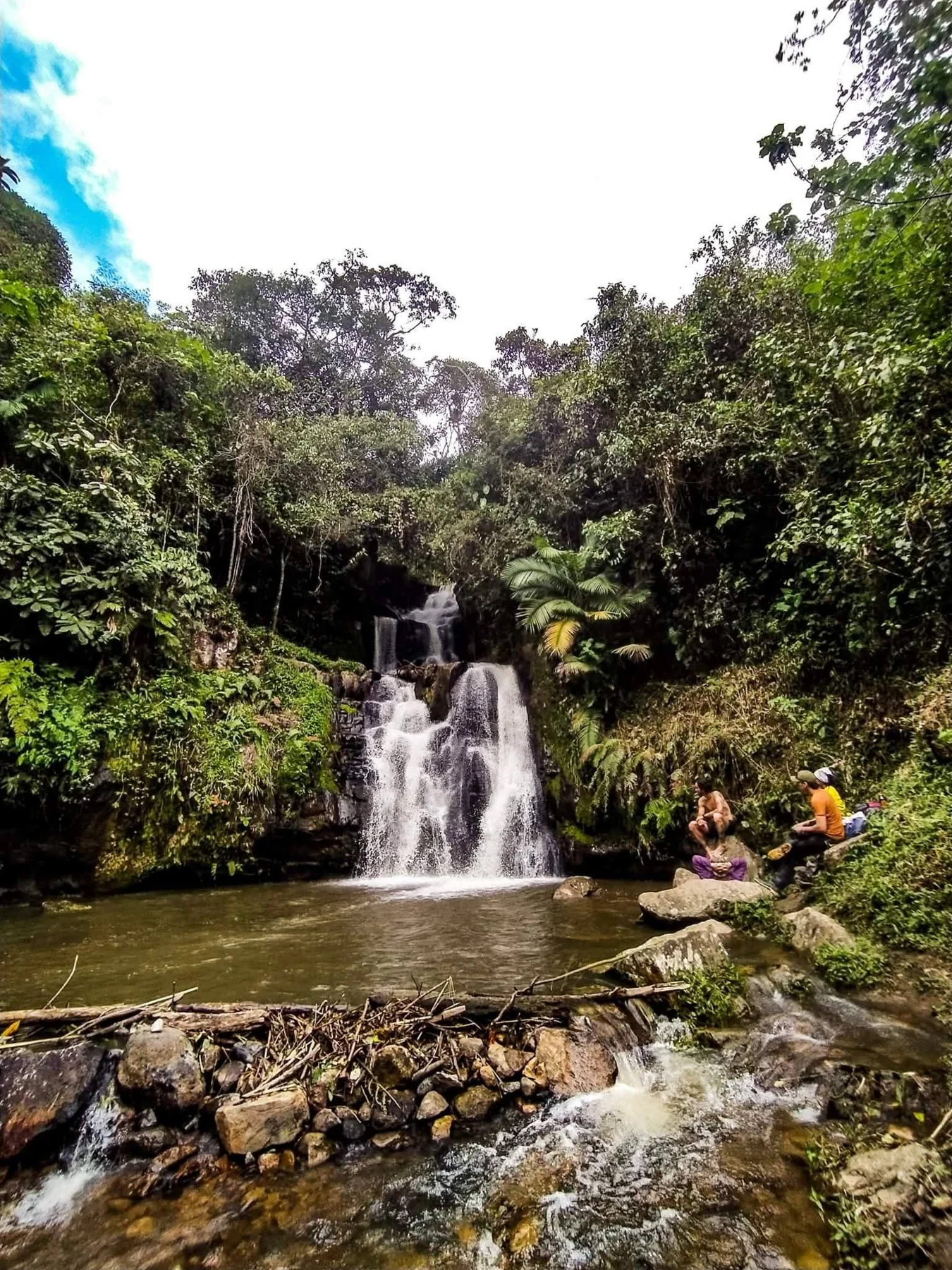
At El Cinco, water flows down between the rocks before gathering in a pool surrounded by vegetation. The landscape invites you to slow down: follow the stream with your eyes, observe the plants and enjoy the freshness of the waterfall.

This outing lets you discover the countryside around San Agustín at a different pace. A path leads to the waterfall; ask us about the most suitable access from the finca when planning your walk.

For your visitBring shoes with good grip and rain protection. Check the trail’s condition and access with us before setting out.

San Agustín Archaeological Park

Heritage · San Agustín

San Agustín Archaeological Park

Close to the finca, a walk among the sculptures and funerary monuments of the ancient societies of the Upper Magdalena.

Read more

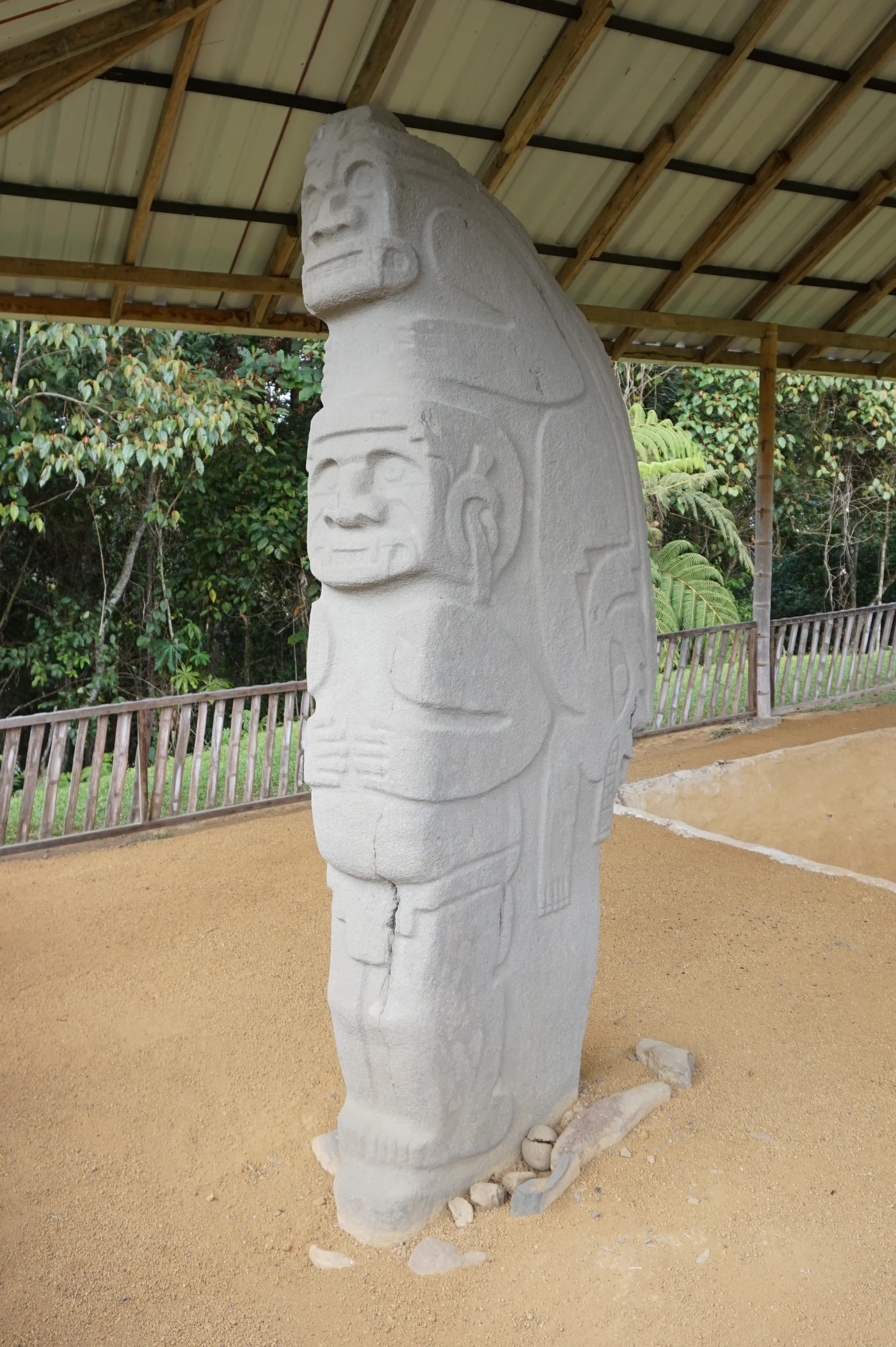
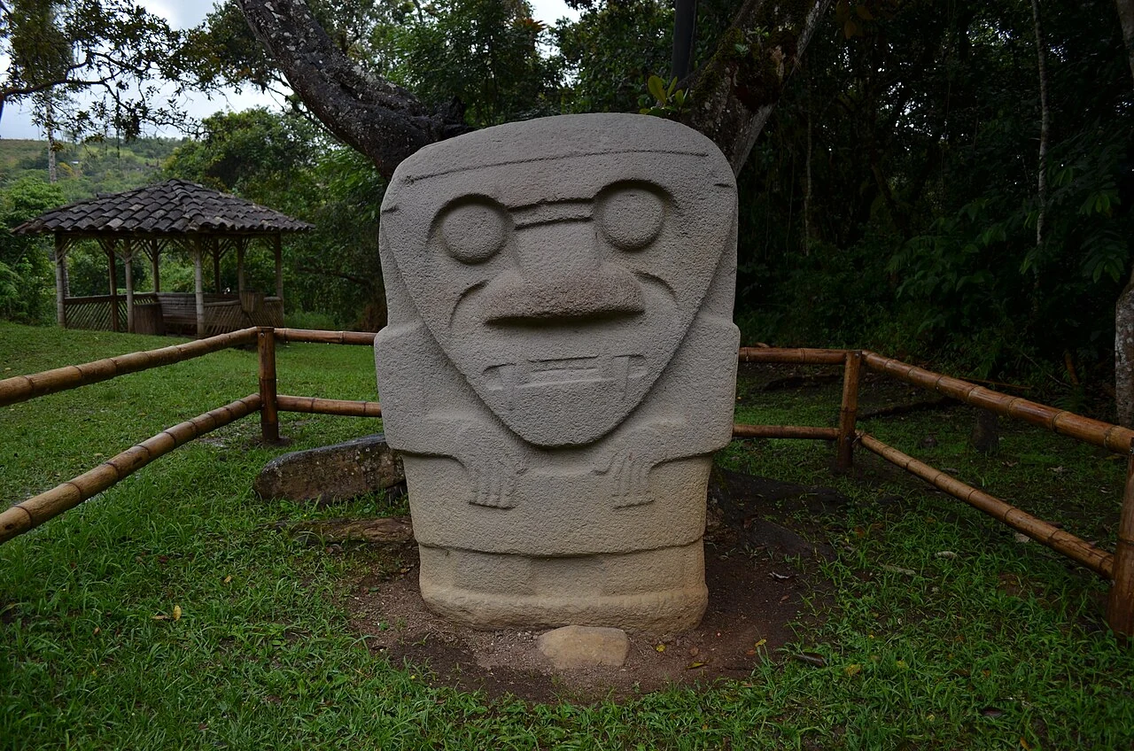
The main area of the park brings heritage and landscape together: monumental statues, stone tombs and terraces bear witness to the region’s pre-Hispanic cultures. It is part of the archaeological group recognised by UNESCO.

The route links Mesitas A, B and C, the Bosque de las Estatuas and the Fuente de Lavapatas, where figures and channels are carved into the rocky bed of a stream. Take time to look at the faces, animals and sculptural details along the paths.

For your visitBring walking shoes, water and a rain jacket. Check ICANH’s information for opening times and admission; stay on the paths and do not touch the statues.

Let’s plan your excursions

SAN AGUSTÍN

A glimpse of San Agustín

The landscape of San Agustín Watch the video on YouTube

What if your next morning
started here?

Let’s talk about your dates, your plans and your stay.

Plan my stay

Sources & references

The descriptions were written for Finca Color Café using the ICANH guide and resources specific to each place. Below you will find reading, galleries and contacts to plan an excursion. Sources consulted on 14 September 2026.

La Chaquira Back to the description ↑
Estrecho del Magdalena Back to the description ↑
Salto del Mortiño Back to the description ↑
Salto de Bordones Back to the description ↑
El Tablón Back to the description ↑
La Pelota & El Purutal Back to the description ↑
Alto de los Ídolos Back to the description ↑
Alto de las Piedras Back to the description ↑
Cascada El Cinco Back to the description ↑
Parque Arqueológico de San Agustín Back to the description ↑

See excursion contacts ↑

Map references

Each link opens the place on a map. The sites were checked in OpenStreetMap and the Cabaña Safia starting point in Google Maps on 14 September 2026. The Mortiño marker corresponds to the viewpoint.

Photo credits

Photos resized; framing adapted to the screen.